
About Lupain.AI
Lupain.AI helps you see and understand land easier. Explore detailed maps with powerful visualization tools and work together with your team in real-time.
Browse by categories
Latest news
Latest News
Follow the making of Lupain.AI
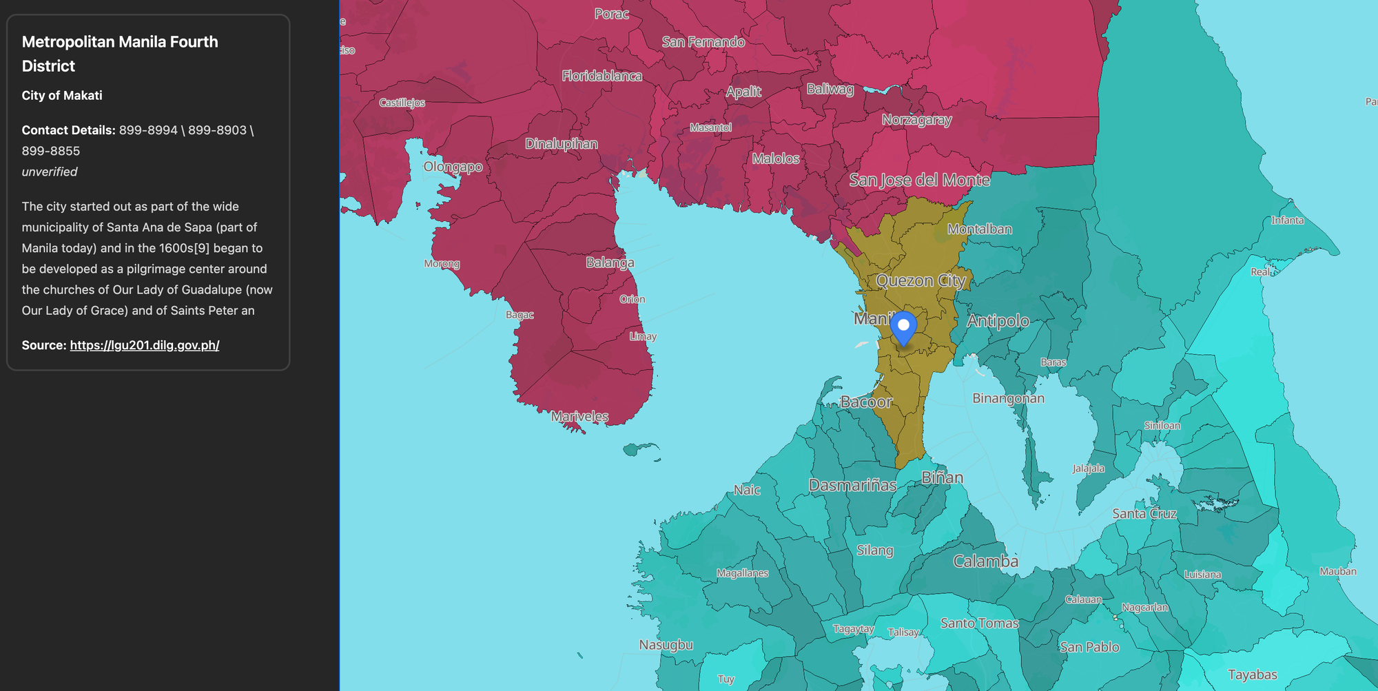
The Interactive LGU Directory
Finding up-to-date and accessible contact information for a specific municipality or city in the Philippines can be a challenge. Information is often scattered across different government websites, outdated PDF files, or not easily searchable. What most people need is a simple, central, and visual way to find this information: to see the geography and get the contact details in one place. At Lupain.AI, we built the Philippine LGU Contact Map to organize this public data into a single, interact
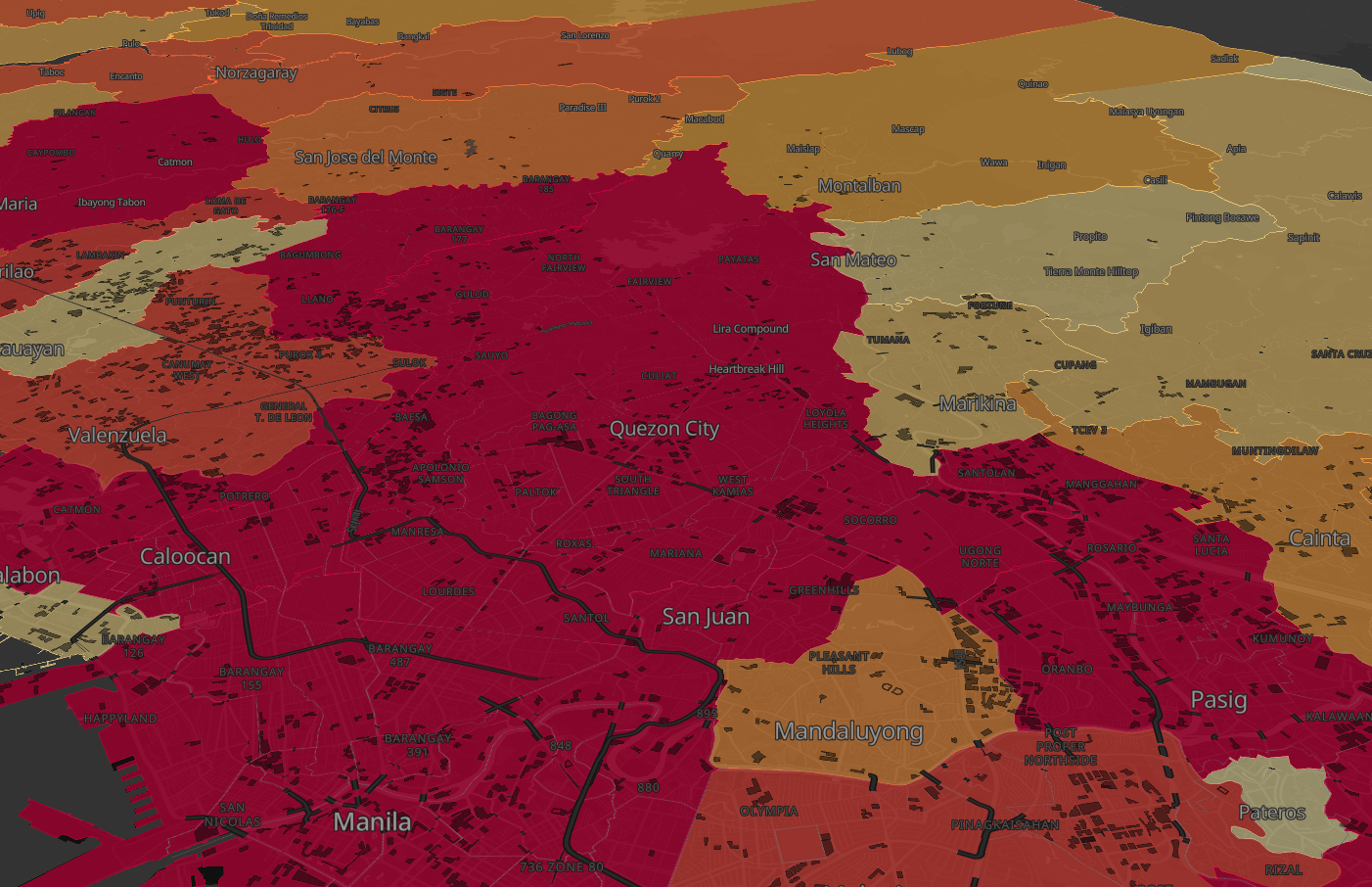
How we built MERALCO Brownout Map for the Philippines
Power interruptions are part of daily life for many Filipinos — from scheduled maintenance to sudden brownouts caused by weather or system issues. What most of us want to know is how often these outages happen in our area, and which places are most affected. At Lupain.AI, we built the Power Outages Map so people can easily see and understand how power interruptions affect their communities. Using data sourced from Electrical Distributors (EDs) covering 2024 to 2025, we built an interactive map
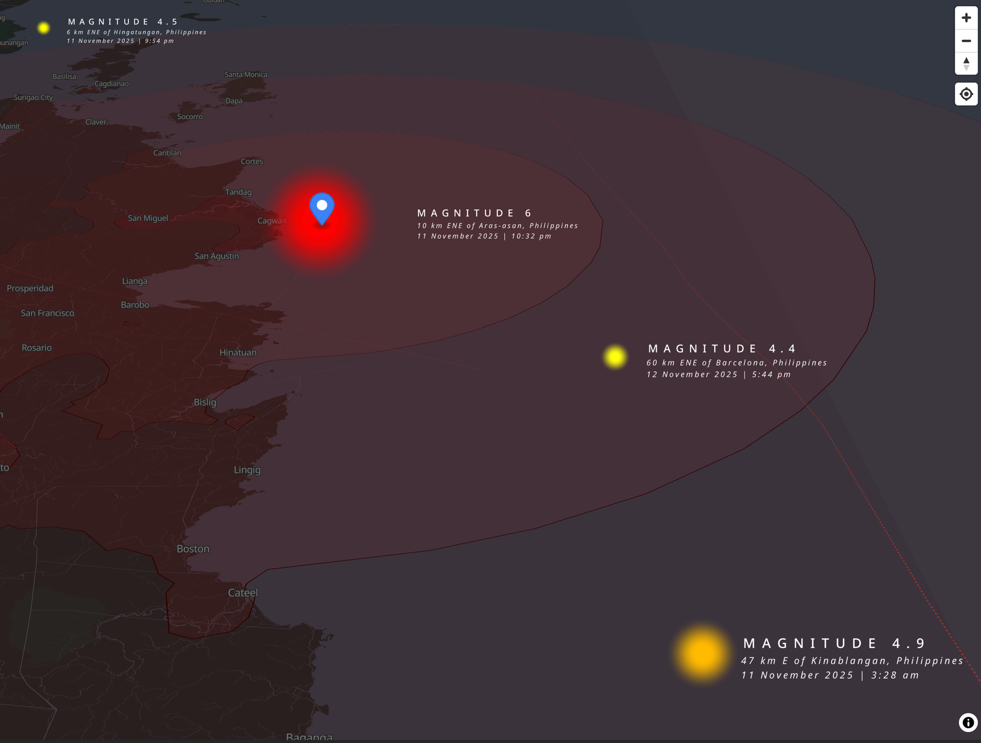
How we built Earthquake Map for the Philippines
In the past few days, several earthquakes have been felt across the Philippines. Moments like these remind us how important it is to have quick and clear information - so people know what’s happening and where. At Lupain.AI, we build maps that help communities understand the world around them. When an event like an earthquake happens, we want to make maps fast - maps that are ready to use and share right away. Making Maps Fast We designed Lupain.AI so maps can be built in just a few minutes.
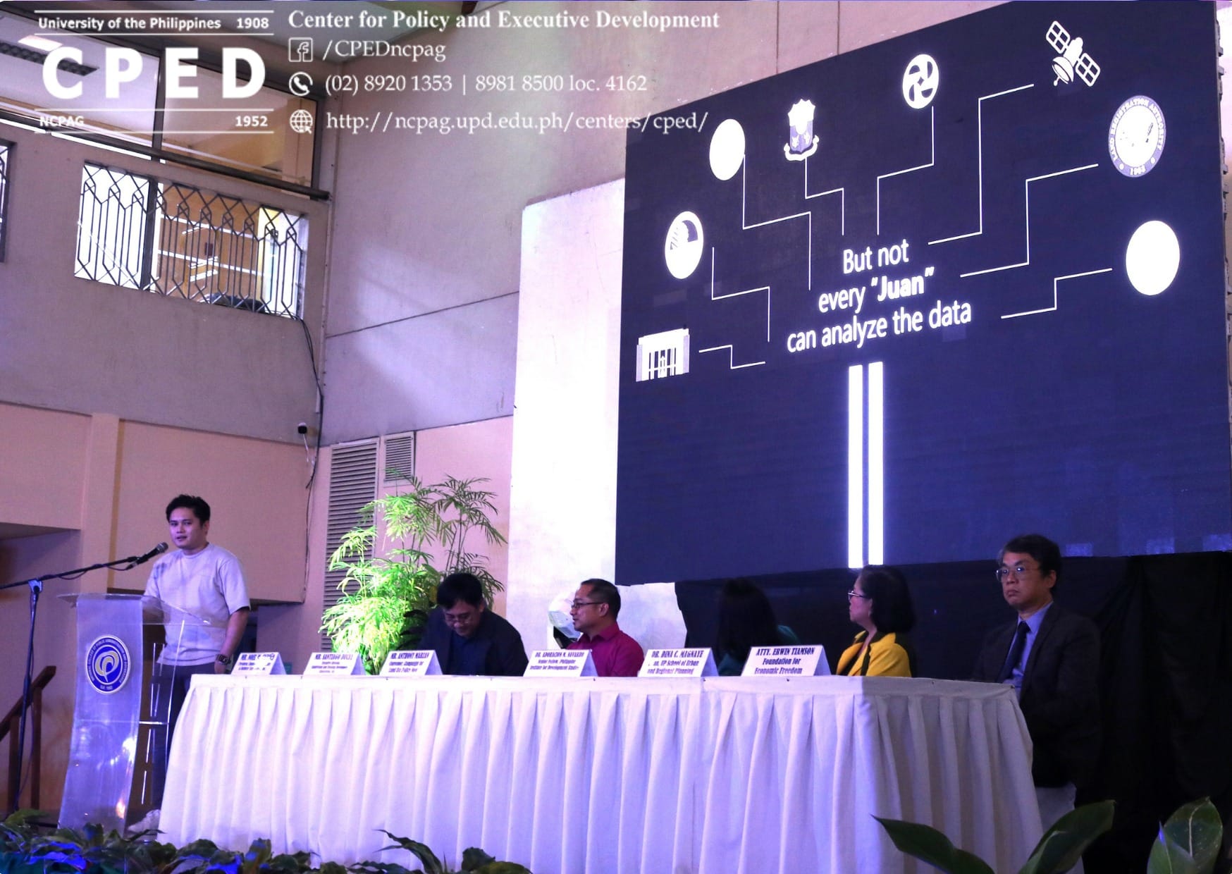
Lupain.AI Introduced at the National Land Use Summit
During the National Land Use Summit at UP Diliman, Mr. Aunell Ross introduced Lupain.AI, a new platform designed to help make smarter decisions about land use in the Philippines.